
‘Smart’ transportation system is planned for region
Bob Piper for Chronicle Media — November 25, 2015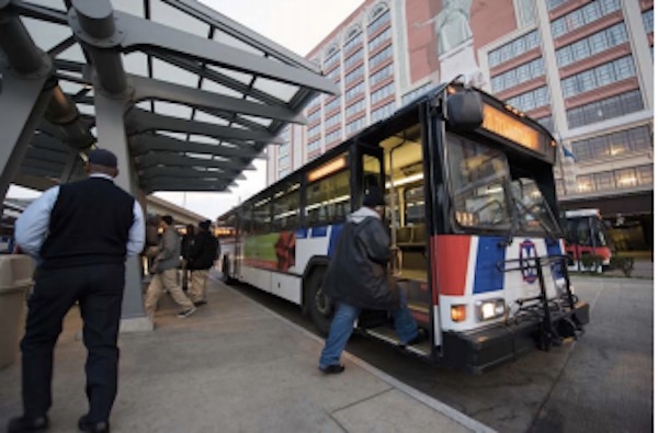
Improving security and efficiency in public transit is just one of the goals of the St. Louis Regional Intelligent Transportation System plan. (Photo courtesy EW Gateway)
A new St. Louis Regional Intelligent Transportation System (ITS) will ease traffic congestion, foster use of “alternative” transportation such as light rail, and lay the groundwork for “connected” vehicles, according to the East-Wet Gateway Council of Governments (EWG), the federally designated planning agency coordinating the project.
Planners hope to implement most of the project over the next five years.
The system will facilitate travel planning, help save fuel, expedite shipments through the region’s growing commercial freight hub, and even help motorists find parking spaces, agency officials say.
It will also make roads safer, assist first responders, and even facilitate evacuations in the event of natural disasters or security threats, they add.
A presentation on the St. Louis Regional ITS and related area transportation projects was featured during the EWG’s 50Th annual meeting, Nov. 18 at St. Louis Station.
An updated development plan for the ITS, which has already been in the planning stages for several years, was formally received by the EWG on Oct. 28.
The ITS system – encompassing Madison, Monroe and St. Clair counties in Metro-East, as well as Franklin, Jefferson, St. Charles, and St. Louis counties, plus the City of St. Louis, is Missouri – is estimated to cost at least $51 million, according to updated master plan.
The ITS will center around a regional information-sharing platform that will provide real-time, multi-modal travel information for the public through the web, Internet service providers, and mobile devices, according to the master plan.
The platform will also provide real-time transportation and incident information to the region’s county and municipal governments, Missouri and Illinois transportation departments, Metro Transit, the Madison County Transit District, Lambert St. Louis International Airport, St. Charles Area Transit, and local police and fire/rescue departments.
Often called “smart” highway systems, the ITS concept is under development in other U.S. cities, as well as major metropolitan areas around the world. The St. Louis ITS is designed to be part of a national smart highway infrastructure ,under development by the U.S. Department of Transportation. The federal government is encouraging intelligent transportation systems, in part, as a homeland security measure, complementing other new security programs.
In developing nations, ITS systems are viewed as a way to fight rapidly growing traffic congestion in urbanizing areas, by encouraging use of walkways, bicycle transportation, motorcycles, buses, or trains.
The new ITS master plan notes the Missouri and Illinois state transportation departments – as well as St. Louis city, St. Louis and St. Charles counties, and Metro – have already developed extensive transportation-related communication systems.
The existing infrastructures variously include: operations centers, traffic flow detection, closed-circuit television (CCTV) cameras, dynamic message signs (DMS), road weather information systems (RWIS), central computerized traffic signal control, fiber optic communications, and real-time information available via dedicated agency web sites. Metro recently enhanced its real-time information system for riders.
However, the existing systems provide only local information, which varies widely in content and accessibility, the master plan notes. The existing systems are seldom interactive. In general, data exchange and wireless communications are not standardized between transportation agencies, police, and other first responders; although a regional communications network has been implemented through the St. Louis Area Regional Response System.
Development of the regional ITS, according to the master plan, will be organized into three “tiers”:
–Regional integration projects will support cross-jursidictional coordination, multi-modal traveler information, and efforts to standardize and share traffic incident, event and emergency information.
–Integrated corridor management projects will involve development of operational strategies, centered around one or more of the region’s five major Interstate highway transportation corridors – including the Gateway Corridor in Metro-East. They may involve coordination of multiple travel modes such as air, river, rail or even bicycle trails.
–Basic system operations and infrastructure projects will adapt existing traffic control systems, transit operations, and roadway infrastructure for the eventual introduction of connected vehicles.
Connected vehicles, now underdevelopment by both major automakers and technology firms, utilize on-board Internet technology – generally a wireless local area network – to communicate with other vehicles or guidance systems to provide features such as automatic external crash notification, speed warning, safety alerts, or travel route planning.
Some short-term ITS projects are already underway with completion expected in two years, according to the master plan. However, some long-term projects – such as the connected vehicle infrastructure – may not take shape until late in the ITS implementation process and could take five or more years to complete.
For additional information see www.ewgateway.org/trans/ITS/ITS.htm
–‘Smart’ transportation system is planned for region–